

Mauri
Attested 700 CE
Latin designation for the Berber population of Mauretania
Wikipedia
The opening of the article, and a way into the rest of it without leaving the site.
Mauri on Wikipedia.
From Wikipedia, available under CC BY-SA 4.0.
How these dates were made
Why this bar's edges are floors, not a founding and a fall.
The atlas draws the world at one moment in time, not continuously. This bar runs from the first snapshot in which Mauri appears to the last, so both edges are floors — the earliest and latest years it is attested, not a founding and a dissolution.
Elsewhere in Africa at the time
Records whose own span overlaps this one, found by the same test the canvas draws with. The bar under each card is where it sits inside this one.
.jpg/500px-Ta%C3%AF_National_Park_(24148248710).jpg)
Landmark · Africa
Taï National Park
3000 BCE – still standingPolity · Africa
Khoiasan
Attested 1500 BCE – 1500 CEConflict · Africa
Kanem–Bornu Wars
700 CE – 1846 CE
Landmark · Africa
Rwenzori Mountains
3000 BCE – still standing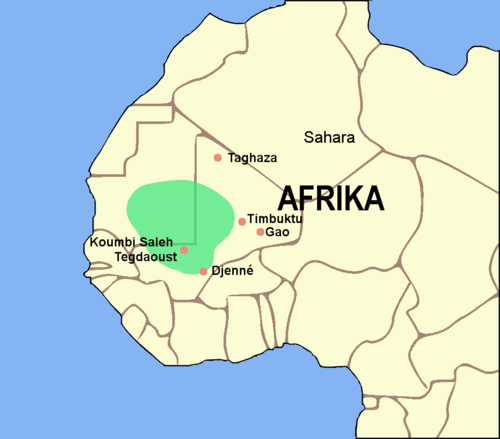
Polity · Africa
Empire of Ghana
100 CE – 1200 CE
Landmark · Africa
Serengeti National Park
3000 BCE – still standing
Polity · Africa
Berbers
Attested 1500 BCE – 900 CE
Landmark · Africa
Victoria Falls
3000 BCE – still standingDated moments inside this span
Events the timeline places between 700 CE and 700 CE.
And in the rest of the world
Records running through the same years, on the other side of the map.
Image credits7 pictures from Wikimedia Commons
- MauriPublic domain
- Taï National Parkyakovlev.alexey from Moscow, Russia · CC BY-SA 2.0
- Rwenzori MountainsNick06 · CC BY-SA 3.0
- Ghana EmpireLuxo · CC BY-SA 3.0
- Serengeti National ParkBjørn Christian Tørrissen · CC BY-SA 3.0
- Berber flagMysid · Public domain
- Victoria FallsDiego Delso · CC BY-SA 4.0

.jpg)


