
.jpg/960px-Ireland_(MODIS).jpg)
Ireland
Attested 1938 CE – 2026 CE
Island in the North Atlantic Ocean
Wikipedia
The opening of the article, and a way into the rest of it without leaving the site.
Ireland on Wikipedia.
From Wikipedia, available under CC BY-SA 4.0.
How these dates were made
Why this bar's edges are floors, not a founding and a fall.
The atlas draws the world at 7 moments in time, not continuously. This bar runs from the first snapshot in which Ireland appears to the last, so both edges are floors — the earliest and latest years it is attested, not a founding and a dissolution.
Elsewhere in Europe at the time
Records whose own span overlaps this one, found by the same test the canvas draws with. The bar under each card is where it sits inside this one.

Landmark · Europe
Plitvice Lakes
3000 BCE – still standing.svg/500px-Flag_of_the_Kingdom_of_Prussia_(1803-1892).svg.png)
Polity · Europe
Prussia
1525 CE – 1947 CE
Conflict · Europe
World War II
1939 CE – 1945 CE
Landmark · Europe
Giant's Causeway
3000 BCE – still standing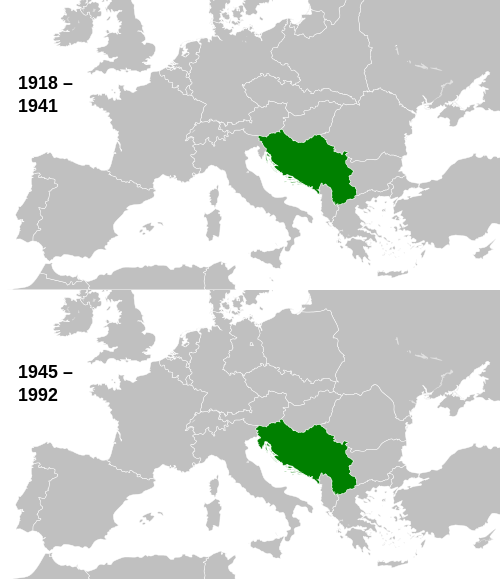
Polity · Europe
Yugoslavia
1918 CE – 1992 CE
Conflict · Europe
Kurdish–Turkish Conflict
1984 CE – 2026 CE
Landmark · Europe
Danube Delta
3000 BCE – still standing
Polity · Europe
Czechoslovakia
1918 CE – 1992 CEDated moments inside this span
Events the timeline places between 1938 CE and 2026 CE.
And in the rest of the world
Records running through the same years, on the other side of the map.
Image credits9 pictures from Wikimedia Commons
- IrelandJeff Schmaltz · Public domain
- Plitvice Lakes National ParkZysko serhii · CC BY-SA 4.0
- Flag of the Kingdom of Prussia (1803-1892)Drawing created by David Liuzzo · Attribution
- World War IIRichard Opitz · CC BY-SA 3.0 de
- Giant's Causewaycode poet on flickr. · CC BY-SA 2.0
- Yugoslavia location mapDerivative work of History_of_Yugoslavia.svg by NikNaks Portions used contain parts of: B… · CC BY-SA 3.0
- Kurdish–Turkish conflictNA · Public domain
- Danube DeltaEuropean Space Agency · Attribution
- Flag of the Czech RepublicJaroslav Kursa · Public domain
.jpg)

.svg)


