
_(cropped).svg/330px-Map_of_the_Viceroyalty_of_Peru_(%2Bclaimed_Patagonian_and_Amazonic_territories)_(cropped).svg.png)
Vice-Royalty of Peru
Attested 1650 CE – 1815 CE
South American administrative district of Spain (1542–1824)
Wikipedia
The opening of the article, and a way into the rest of it without leaving the site.
Viceroyalty of Peru on Wikipedia.
From Wikipedia, available under CC BY-SA 4.0.
How these dates were made
Why this bar's edges are floors, not a founding and a fall.
The atlas draws the world at 6 moments in time, not continuously. This bar runs from the first snapshot in which Vice-Royalty of Peru appears to the last, so both edges are floors — the earliest and latest years it is attested, not a founding and a dissolution.
Elsewhere in Americas at the time
Records whose own span overlaps this one, found by the same test the canvas draws with. The bar under each card is where it sits inside this one.
Landmark · Americas
Langi Royal Tombs of Mu'a
1200 CE – 1800 CE.svg/500px-Flag_of_Canada_(Pantone).svg.png)
Polity · Americas
Canada
Founded 1815 CE · attested to 2026 CEConflict · Americas
Hawaiian Unification Wars
1782 CE – 1810 CETrade route · Americas
Spanish Treasure Fleet Return
1566 CE – 1790 CE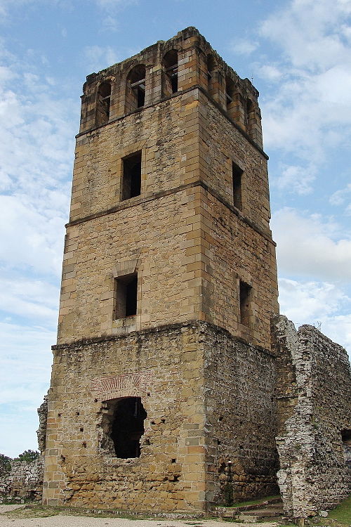
Landmark · Americas
Panama Viejo
1519 CE – 1671 CE
Polity · Americas
Mexico
Founded 1810 CE · attested to 2026 CEConflict · Americas
Argentine War of Independence
1810 CE – 1818 CETrade route · Americas
Atlantic Return (Sugar & Tobacco)
1600 CE – 1850 CEDated moments inside this span
Events the timeline places between 1650 CE and 1815 CE.
And in the rest of the world
Records running through the same years, on the other side of the map.
Image credits4 pictures from Wikimedia Commons
- Map of the Viceroyalty of Peru (+claimed Patagonian and Amazonic territories) (cropped)Milenioscuro Derivative work: Janitoalevic · CC BY-SA 3.0
- Flag of Canada (Pantone)Original: George F. G. Stanley Modified by: The original uploader was Illegitimate Barris… · Public domain
- Panamá ViejoMelpanama · CC BY 3.0
- Flag of MexicoOmar Alejandro Covarrubias Neri, 9 April 2006. Based on the 1968 arms by Francisco Eppens… · Public domain
_(cropped).svg)
.svg)

